CASE STUDY: Drone use in the Raine Island recovery project
Case Studies
Boeing Australia – Where humans and automation work together
Since the 2008 establishment of Boeing’s advanced research and development unit …
IR4 – Mass communication via robotic automation
IR4 is an early revenue technology company that is setting global benchmarks in …
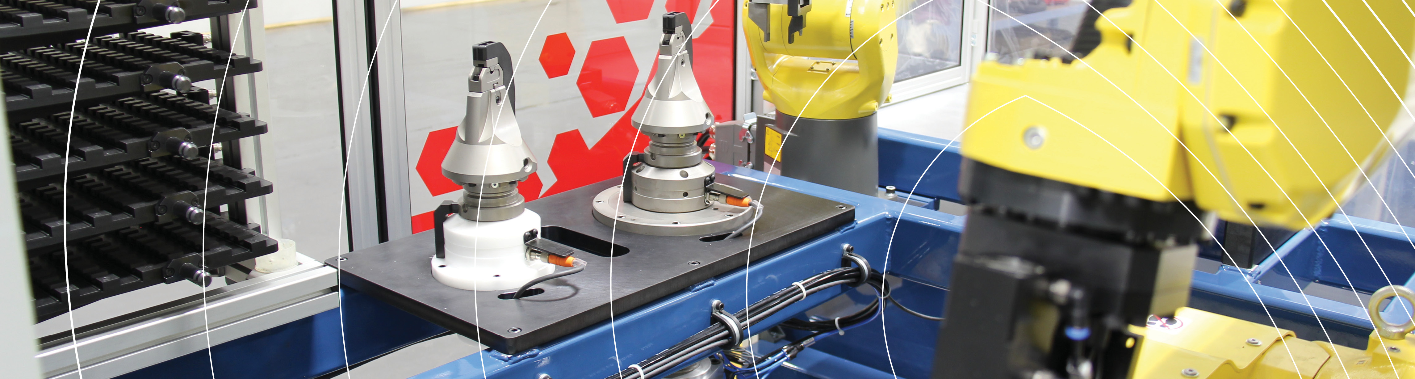
Kalmar – AutoStrad Terminal Solution
Within the next 10-15 years many of the major stevedores will automate and the …
Wide area surveillance of the oceans requires a diversity of solutions …
Rio Tinto’s fleet of autonomous haul trucks have moved more than 1 billion tonnes of …
Share this story
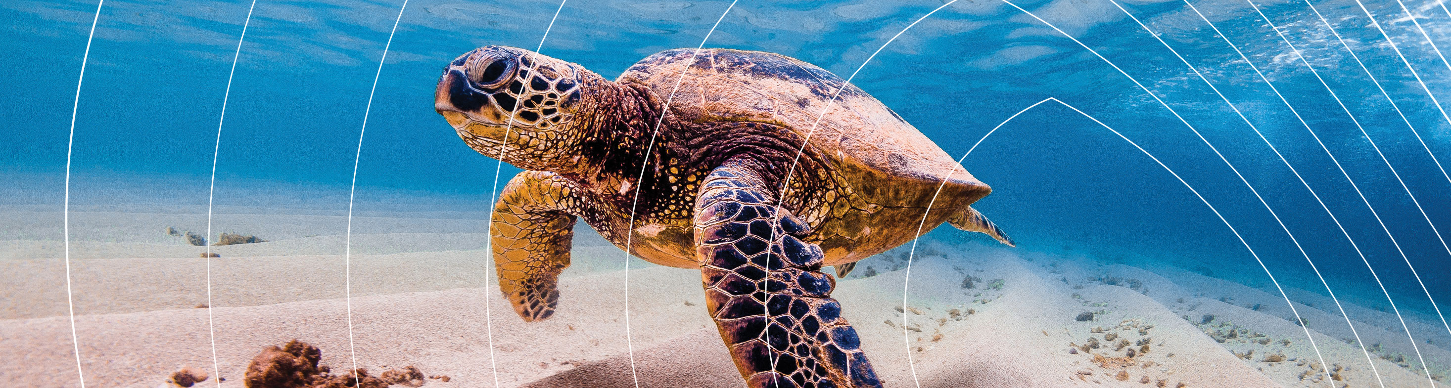
Raine Island is located on the northern tip of the Great Barrier Reef (GBR), approximately 620 kilometres north-west of Cairns. It supports the world’s largest remaining green turtle nesting population and is the most important seabird rookery in the Great Barrier Reef World Heritage Area. The vegetated coral cay is just 21 hectares in size but holds significant environmental and cultural values. The entire island is a protected national park (for scientific purposes) and is not accessible to the public.
However, changes in the island’s landscape have caused tidal inundation—killing newly laid eggs which cannot survive underwater—and causing as many as 2,000 adult turtles to die (in a season) from overturning and entrapment in rocky cliffs and from heat exhaustion on the nesting beach. The Raine Island recovery project aims to protect and restore the island’s critical habitat to ensure the future of key marine species, including green turtles and seabirds. As such, a range of approaches have been employed, from manual intervention to the use of robotic drones and computer vision, to protect and assess the management actions taking place.
Drones are a key technology being used to measure and assess landscape topography and changes over time, as well as to collect imagery of seabirds, turtles and sharks for population analysis. A range of collaborators have been using the technology and have created a world-first operating procedure for the use of drones for scientific use on conservation areas such as Raine Island. Computer vision is now being used to facilitate the automated counting of animals under all weather conditions, and day and night, to allow timely assessment of remediation actions between field campaigns.
Trending Article
An Australian university (ANU) has been the first to trial intelligent drones for automated inspection of solar power plants.
The project is an industry-researcher collaboration funded by the Australian government’s Australian Renewable Energy Agency (ARENA) developing a cost-effective robotic inspection system…
ANCA – Australia’s largest user of industrial robots
ANCA is an Australian company, founded in Melbourne in 1974, now with offices...
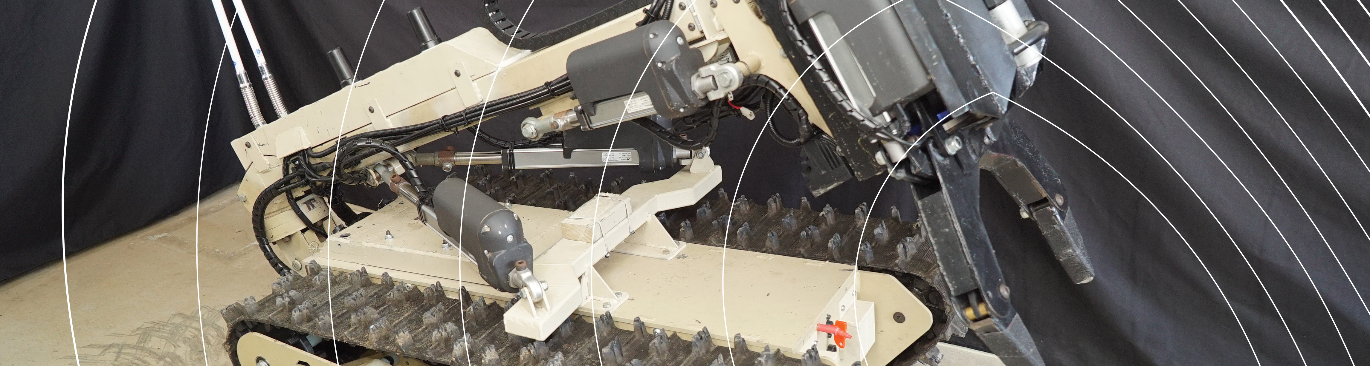
BIA5 Innovation Robotics and customers
BIA5 Pty Ltd is a start-up company that specialises in designing, manufacturing...
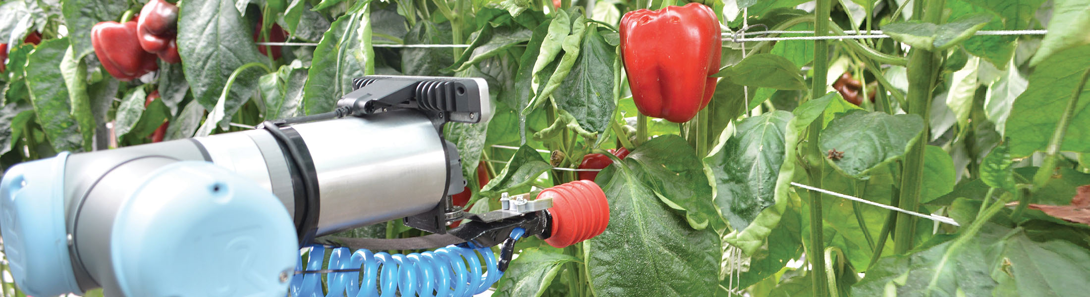
Harvey - the capsicum-picking robot
The horticulture industry in Australia has a gross value of more than $AU8...
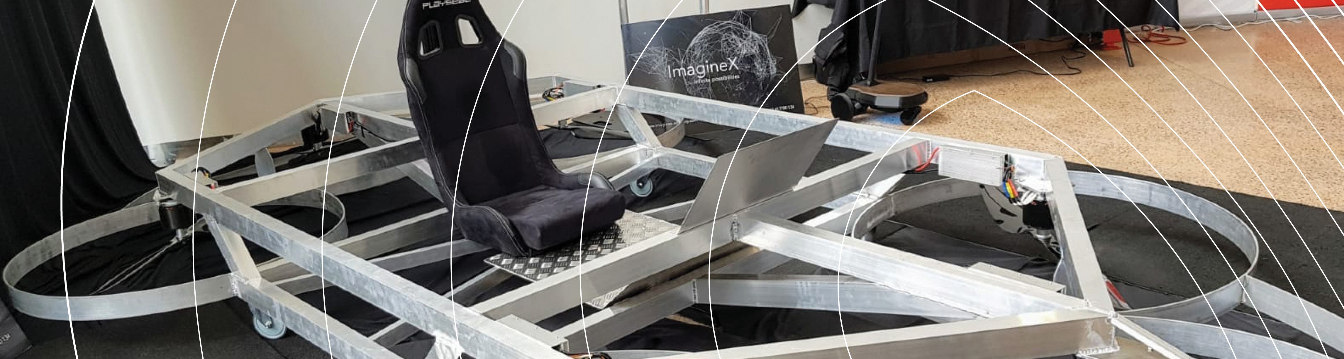
Pegasus Alpha – Flying car
In the back streets of Brisbane, two brothers with a passion for the automotive industry had a feeling that the future is vertical.